Archive for May, 2010

IT’S OFFICIAL

Posted on: May 24th, 2010 by Jonathan Merage 4 Comments

As expected, NWS Aberdeen has officially rated the Bowdle tornado an EF4 with wind speeds between 170-200 mph!! That makes our second certifiable EF4 (Quinter, KS of May ’08 the first) and my personal third! The first EF4 I experienced (not so much “witnessed” due to after-dark) being the famous Hoisington, Kansas tornado of April 21, 2001.

NWS described damages some which we personally witnessed (from up-close) such as “major damage to walls with roof removed” to one residence just north of town and “widespread tree damage with many of the trees completely debarked” which is impressive considering trees have a generally slim profile, and MOST IMPORTANTLY, “2 garages completely destroyed with the concrete slab wiped clean” and “ground scouring visible along the path of the electrical towers” which we witnessed and recorded. Those descriptions are hallmarks of strong-violent tornadoes. Lastly the path length, duration, and width of the vortex (estimated at one-half mile wide) defined the strength of it all!

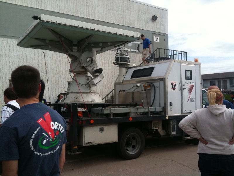
While we didn’t have a chance to revisit the damaged areas we knew such things had occurred having witnessed the furious and violent storm motions at all levels. All features of the supercell from the moment of mesocyclogenesis through its apocalyptic maturity with a massive striated buzzsaw appearance and screaming inflow jets feeding the storm throughout the mid-levels of the atmosphere screamed violent. It was as if this storm just situated itself over one spot and had nothing to do but spin out of control. I will post many more pictures soon.

Violent Wedge Tornadoes near Bowdle, SD

Posted on: May 23rd, 2010 by Jonathan Merage No Comments

Days like this are what storm chasers/researchers live for…

Yesterday afternoon the 22nd a supercell of EPIC proportions produced seven destructive tornadoes along a 7 mile path across north-central South Dakota. Among them, one become a large barrel shaped wedge tornado which crossed to the north of the small town of Bowdle. I tracked this powerhouse storm with my partner Sean Mullins (whose picture of the storm made the front page of the local newspaper) from it’s start as a cluster of billowing cumulus in a clear blue sky straight through until its massive blowout as a long line of lightning & hail-filled storms.

The main tornado near Bowdle crossed the highway on which we had followed the storm just behind us as we raced to stay ahead of the tornado. Once it passed north, we stopped to collect data, video & photos while the violent tornado became stationary & grinded into the earth lofting massive amounts of dirt and debris and actually holding the mess in suspension as it quickly matured into a full-blown wedge! As I shot video of the storm powerful inflow winds at our location accelerated to around 100mph. At this point I actually had to sit down on the pavement to steady myself and shoot the best footage of my life so far!

The storm evolved rapidly, growing wider & narrower, producing intermittently visible suction vortices which surely caused the bulk of the damages, so far preliminarily rated EF3+ with winds of 165 mph and higher. Personally, I’m certain this storm caused solid EF4 damage with winds between 166 to near 200mph! I will provide more information & links once they are available. Needless to say, this was a massive and POWERFUL tornado!

VORTEX 2: The Calm Before the Storm

Posted on: May 9th, 2010 by Jonathan Merage 6 Comments


It’s been some time since I’ve posted here…the storm season has so far been unusually benign and with final VORTEX2 preparations underway the forecast once again calls for a long week of chasing, documenting and studying whichever monster supercells we’ll be able to keep up with.

While our excitement levels are surging to an electrifying peak this week’s forecast models depict an alarming situation for damaging storms with potentially numerous powerful tornadoes poised to leave lengthy paths of destruction across the heart of tornado alley– uncomfortably close to populated & congested metropolitan areas.

The usual speculations exist of strong tornadoes and/or large hail hitting town centers like Oklahoma City or surrounding suburbs and further north/northeast into southern Kansas & eventually beyond. One of the higher concerns for our research armada and the nearby communities will be fast storm motions with forecasts now showing storm speeds of around 40 kts (nearly 50 mph!). Needless to say, such speeds on likely destructive tornadic storms going into the night is unnerving.

This year, our role as vehicle Probe 8 will be sampling the small & short-lived Descending Reflectivity Core, inflow and surging mini gust front as it travels cyclonically around the tornado and moves toward and eventually into the storm’s dark core. Our Professors at the OU School of Meteorology have a renewed focus in this area which they believe to hold key information as to the strong thermodynamics & locations of specific air masses circulating around the tornado. More info on this soon.

Today’s AM Briefing in Amarillo, TX